
Millard topographic map
Click on the map to display elevation.
About this map
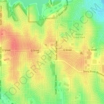
Name: Millard topographic map, elevation, terrain.
Location: Millard, Omaha, Douglas County, Nebraska, United States (41.20473 -96.15957 41.20477 -96.15946)
Average elevation: 355 m
Minimum elevation: 322 m
Maximum elevation: 379 m