Geolocate

Thazhambur topographic map

Click on the map to display elevation.

About this map

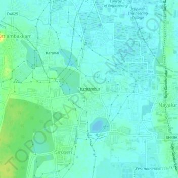
Name: Thazhambur topographic map, elevation, terrain.

Location: Thazhambur, Tiruporur, Chengalpattu, Tamil Nadu, 600097, India (12.82917 80.18898 12.86917 80.22898)

Average elevation: 7 m

Minimum elevation: -2 m

Maximum elevation: 26 m

Gear up for your next adventure:

💡Compact LED Flashlight - Powerful and portable flashlight for outdoor use
🐕Hiking Dog Pack - Let your canine companion carry their own water and food
🧴Bear Spray Holster - Quick-access carry for essential Canadian wilderness safety
Lightweight Backpacking Tent - Compact tent for efficient hiking trips
🥾All-Terrain Hiking Boots - Versatile boots for varied hiking conditions

As an Amazon Associate, this site earns from qualifying purchases at no extra cost to you.