
Lake McGregor topographic map
Click on the map to display elevation.
About this map
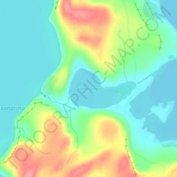
Name: Lake McGregor topographic map, elevation, terrain.
Location: Lake McGregor, Mackenzie District, Canterbury, New Zealand (-43.93891 170.46636 -43.93276 170.48074)
Average elevation: 738 m
Minimum elevation: 708 m
Maximum elevation: 797 m
Other topographic maps
Click on a map to view its topography, its elevation and its terrain.