Geolocate

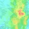
Kanthan topographic map

Click on the map to display elevation.

About this map
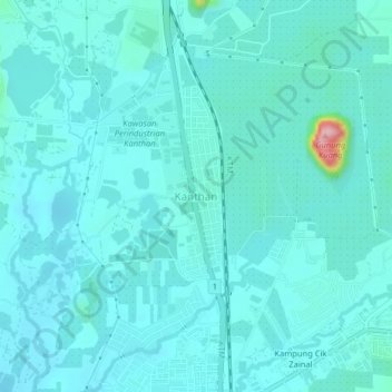
Name: Kanthan topographic map, elevation, terrain.

Location: Kanthan, Ipoh, Kinta, Perak, 31200, Malaysia (4.72097 101.09875 4.76097 101.13875)

Average elevation: 84 m

Minimum elevation: 63 m

Maximum elevation: 253 m

Other topographic maps

Click on a map to view its topography, its elevation and its terrain.

Kampung Baru Gunung Genting

Malaysia > Perak > Ipoh

Average elevation: 69 m

Eco Park 2

Malaysia > Perak > Ipoh

Average elevation: 53 m

Kampung Jawa

Malaysia > Perak > Ipoh

Average elevation: 45 m

Sungai Pinji

Malaysia > Perak > Ipoh

Average elevation: 101 m

Ipoh Padang

Malaysia > Perak > Ipoh > Buntong > Kampung Kuchai

Average elevation: 43 m

Mirror lake

Malaysia > Perak > Ipoh

Average elevation: 80 m

Eco Park 2

Malaysia > Perak > Ipoh

Average elevation: 53 m

Kampung Baru Simpang Pulai

Malaysia > Perak > Ipoh

Average elevation: 54 m

Geopark Lubuk Timah

Malaysia > Perak > Ipoh

Average elevation: 131 m

Gear up for your next adventure:

🩹Compact First Aid Kit - Pre-packed essentials for common trail injuries
👖Convertible Hiking Pants - Zip-off legs to adapt to changing weather conditions
💧Collapsible Water Bottle - Space-saving water bottle for outdoor activities
🥾Light Hiking Boots - Lightweight and comfortable boots for day hikes
💧Hydration Pack - Hands-free hydration system for long hikes

As an Amazon Associate, this site earns from qualifying purchases at no extra cost to you.