Geolocate

Mendaur topographic map

Click on the map to display elevation.

About this map
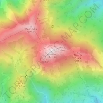
Name: Mendaur topographic map, elevation, terrain.

Location: Mendaur, Ituren, Baztan-Bidasoa, Navarra, 31745, España (43.15540 -1.71934 43.15550 -1.71924)

Average elevation: 722 m

Minimum elevation: 326 m

Maximum elevation: 1,108 m

Gear up for your next adventure:

🧢Sun Hat - Wide-brim hat for sun protection
🚑Survival Whistle - Signal for help across long distances in mountains
🧥Ultralight Puffy Jacket - Maximum warmth that packs down to the size of an orange
🥾Light Hiking Boots - Lightweight and comfortable boots for day hikes
📷Outdoor Action Camera - Capture high-elevation views and rugged adventures

As an Amazon Associate, this site earns from qualifying purchases at no extra cost to you.