Geolocate

Makhtal topographic map

Click on the map to display elevation.

About this map

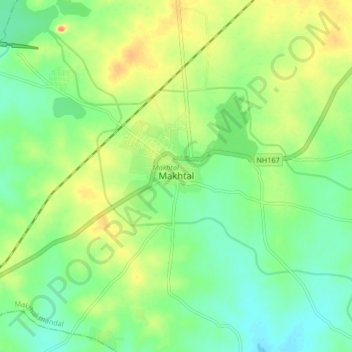
Name: Makhtal topographic map, elevation, terrain.

Location: Makhtal, Makthal mandal, Narayanpet District, Telangana, India (16.46108 77.47332 16.54108 77.55332)

Average elevation: 366 m

Minimum elevation: 346 m

Maximum elevation: 396 m

Gear up for your next adventure:

🥾Hiking Shoes - Durable and comfortable shoes for trail hiking
🧥Waterproof Pants - Keep dry during rainy hiking conditions
🧢Hiking Hat - Sun-protective and breathable hats for long treks
🛌Insulated Sleeping Pad - Critical thermal barrier between you and the cold ground
🧴Bear Spray Holster - Quick-access carry for essential Canadian wilderness safety

As an Amazon Associate, this site earns from qualifying purchases at no extra cost to you.