Geolocate

Annappes topographic map

Click on the map to display elevation.

About this map
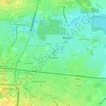
Name: Annappes topographic map, elevation, terrain.

Location: Annappes, Saint-Sauveur, Villeneuve-d'Ascq, Lille, Nord, Hauts-de-France, Metropolitan France, France (50.62319 3.13805 50.63250 3.15470)

Average elevation: 31 m

Minimum elevation: 21 m

Maximum elevation: 44 m

Other topographic maps

Click on a map to view its topography, its elevation and its terrain.

Gear up for your next adventure:

🥾Hiking Shorts - Breathable shorts suitable for summer hikes
🔦UV Flashlight - Detect minerals or specific insects in the dark
☕Camping Coffee Maker - Brew fresh coffee anywhere on the topographic map
💧Collapsible Water Bottle - Space-saving water bottle for outdoor activities
🥾Durable Hiking Shoes - Long-lasting shoes for frequent hiking

As an Amazon Associate, this site earns from qualifying purchases at no extra cost to you.