
Montrose topographic map
Click on the map to display elevation.
About this map
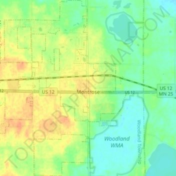
Name: Montrose topographic map, elevation, terrain.
Location: Montrose, Wright County, Minnesota, United States (45.04325 -93.94192 45.08874 -93.89713)
Average elevation: 294 m
Minimum elevation: 278 m
Maximum elevation: 313 m
Other topographic maps
Click on a map to view its topography, its elevation and its terrain.
South Haven
United States > Minnesota > Wright County > South Haven > South Haven
Average elevation: 331 m
Maple Lake
United States > Minnesota > Wright County > Maple Lake > Maple Lake
Average elevation: 314 m