Geolocate

Mandvi topographic map

Click on the map to display elevation.

About this map

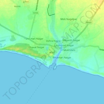
Name: Mandvi topographic map, elevation, terrain.

Location: Mandvi, Mandvi Taluka, Kachchh, Gujarat, 370405, India (22.79145 69.31081 22.87145 69.39081)

Average elevation: 6 m

Minimum elevation: -1 m

Maximum elevation: 23 m

Gear up for your next adventure:

🩹Compact First Aid Kit - Pre-packed essentials for common trail injuries
🥾Waterproof Hiking Shoes - Durable shoes for wet and rugged trails
🧢Hiking Hat - Sun-protective and breathable hats for long treks
🔦UV Flashlight - Detect minerals or specific insects in the dark
🛶Kayak Dry Bag - Waterproof storage for kayaking adventures

As an Amazon Associate, this site earns from qualifying purchases at no extra cost to you.