Geolocate

Monte Marcolano topographic map

Click on the map to display elevation.

About this map

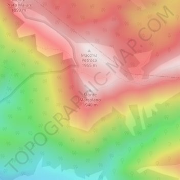
Name: Monte Marcolano topographic map, elevation, terrain.

Location: Monte Marcolano, Villavallelonga, L'Aquila, Italy (41.83744 13.70216 41.83754 13.70226)

Average elevation: 1,595 m

Minimum elevation: 1,134 m

Maximum elevation: 1,949 m

Gear up for your next adventure:

🧭GPS Outdoor Watch - Smart watch for navigation and fitness tracking in nature
🥾Mountain Hiking Boots - High-traction boots for rocky terrain
🧦Thermal Socks - Warm socks for winter hiking or camping
🛶Kayak Dry Bag - Waterproof storage for kayaking adventures
🥤Collapsible Travel Cup - Saves space and weight in your mess kit

As an Amazon Associate, this site earns from qualifying purchases at no extra cost to you.