
乌伦古河 topographic map
Interactive map
Click on the map to display elevation.
About this map
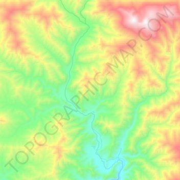
Name: 乌伦古河 topographic map, elevation, terrain.
Location: 乌伦古河, 阿热勒镇, 青河县, Алтай 阿勒泰地区, Xinjiang, RPC (46.86629 90.23432 47.07375 90.34003)
Average elevation: 2,015 m
Minimum elevation: 1,411 m
Maximum elevation: 3,150 m