Geolocate

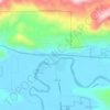
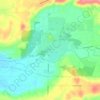
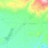
Mossyrock topographic map

Click on the map to display elevation.

About this map
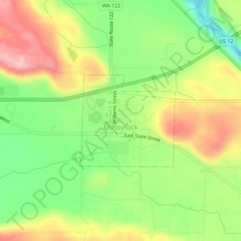
Name: Mossyrock topographic map, elevation, terrain.

Location: Mossyrock, Lewis County, Washington, United States (46.52537 -122.49166 46.53567 -122.47544)

Average elevation: 213 m

Minimum elevation: 133 m

Maximum elevation: 303 m

Other topographic maps

Click on a map to view its topography, its elevation and its terrain.
Cinebar

United States > Washington > Lewis County

Average elevation: 308 m

Randle

United States > Washington > Lewis County

Average elevation: 378 m

The Rockies

United States > Washington > Lewis County

Average elevation: 1,012 m

Silver Falls

United States > Washington > Lewis County

Average elevation: 847 m

Angry Mountain

United States > Washington > Lewis County

Average elevation: 1,401 m

Onalaska

United States > Washington > Lewis County

Average elevation: 170 m

Packwood

United States > Washington > Lewis County

Average elevation: 379 m

Adna

United States > Washington > Lewis County

Average elevation: 82 m

Mayfield

United States > Washington > Lewis County

Average elevation: 223 m

Bunker

United States > Washington > Lewis County

Average elevation: 101 m

Randle

United States > Washington > Lewis County

Average elevation: 378 m

Ceres

United States > Washington > Lewis County

Average elevation: 123 m

Glenoma

United States > Washington > Lewis County

Average elevation: 354 m

Gear up for your next adventure:

🧰Survival Kit - Essential gear for emergencies in the wilderness
👟Sport Hiking Sandals - Breathable footwear for water crossings and camp rest
🍽️Titanium Camping Spork - Ultralight and indestructible eating utensil
🪜Heavy Duty Carabiners - Multi-use clips for securing gear to your backpack
🧣Merino Neck Gaiter - Protects against wind, sun, and cold at high altitudes

As an Amazon Associate, this site earns from qualifying purchases at no extra cost to you.