Geolocate

St. Clair topographic map

Click on the map to display elevation.

About this map

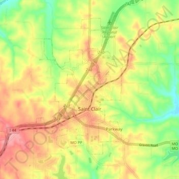
Name: St. Clair topographic map, elevation, terrain.

Location: St. Clair, Franklin County, Missouri, 63077, United States (38.32016 -91.03486 38.38394 -90.96072)

Average elevation: 212 m

Minimum elevation: 156 m

Maximum elevation: 263 m

Other topographic maps

Click on a map to view its topography, its elevation and its terrain.

Greenstreet

United States > Missouri > Franklin County

Average elevation: 215 m

Catawissa

United States > Missouri > Franklin County

Average elevation: 168 m

Gear up for your next adventure:

💡LED Headlamp - Hands-free illumination for night hiking and camping
Camping Tent - Weather-resistant tents suitable for 2 to 6 people
🚲MTB Frame Bag - Carry tools and maps directly on your bicycle frame
🧣Evaporative Cooling Towel - Beat the heat during intense summer climbs
Camping Essentials - All-in-one gear for a comfortable camping trip

As an Amazon Associate, this site earns from qualifying purchases at no extra cost to you.