Geolocate

gadholi topographic map

Click on the map to display elevation.

About this map

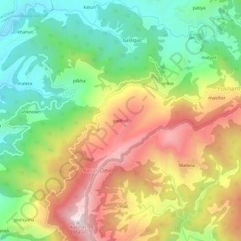
Name: gadholi topographic map, elevation, terrain.

Location: gadholi, Kasar Devi, Almora, Uttarakhand, 263636, India (29.63916 79.64940 29.67916 79.68940)

Average elevation: 1,522 m

Minimum elevation: 1,185 m

Maximum elevation: 1,945 m

Gear up for your next adventure:

💧Reusable Water Bottle - Durable water bottles for hydration on trails
🎒Backpack Rain Cover - External shield to keep your entire pack dry
🧥Softshell Jacket - Windproof and breathable jacket for hiking
🩹Moleskin Blister Pads - Direct protection for painful foot pressure points
👖Convertible Hiking Pants - Zip-off legs to adapt to changing weather conditions

As an Amazon Associate, this site earns from qualifying purchases at no extra cost to you.