
Slough Creek topographic map
Click on the map to display elevation.
About this map
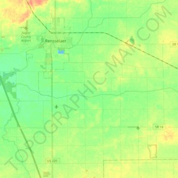
Name: Slough Creek topographic map, elevation, terrain.
Location: Slough Creek, Jasper County, Indiana, United States (40.89027 -87.20780 40.90523 -87.01709)
Average elevation: 206 m
Minimum elevation: 190 m
Maximum elevation: 226 m