
Nerima topographic map
Interactive map
Click on the map to display elevation.
About this map
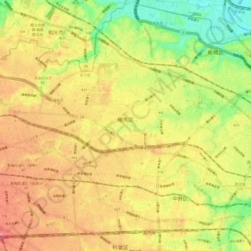
Name: Nerima topographic map, elevation, terrain.
Location: Nerima, Tokio, Japón (35.71171 139.56289 35.77999 139.68111)
Average elevation: 39 m
Minimum elevation: 0 m
Maximum elevation: 67 m