
Bilsen topographic map
Click on the map to display elevation.
About this map
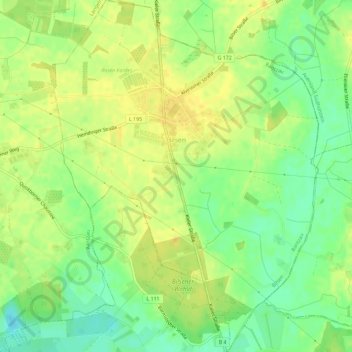
Name: Bilsen topographic map, elevation, terrain.
Location: Bilsen, Rantzau, Kreis Pinneberg, Schleswig-Holstein, Germany (53.74741 9.85789 53.78152 9.90158)
Average elevation: 22 m
Minimum elevation: 7 m
Maximum elevation: 31 m
Other topographic maps
Click on a map to view its topography, its elevation and its terrain.
Heligoland
Germany > Schleswig-Holstein > Kreis Pinneberg > Helgoland > Helgoland
Average elevation: 2 m