
Pfinztal topographic map
Click on the map to display elevation.
About this map
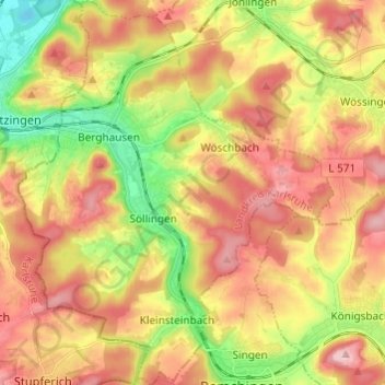
Name: Pfinztal topographic map, elevation, terrain.
Location: Pfinztal, Landkreis Karlsruhe, Baden-Württemberg, 76327, Germany (48.95219 8.50020 49.03161 8.59982)
Average elevation: 203 m
Minimum elevation: 108 m
Maximum elevation: 287 m
Other topographic maps
Click on a map to view its topography, its elevation and its terrain.
Dettenheim (Baden)
Germany > Baden-Württemberg > Landkreis Karlsruhe > Dettenheim
Average elevation: 100 m