Geolocate

Mount Pleasant topographic map

Click on the map to display elevation.

About this map

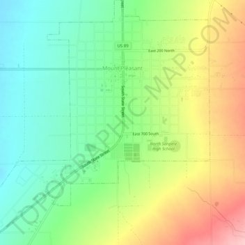
Name: Mount Pleasant topographic map, elevation, terrain.

Location: Mount Pleasant, Sanpete County, Utah, 84647, United States (39.51906 -111.48416 39.55766 -111.43757)

Average elevation: 1,818 m

Minimum elevation: 1,751 m

Maximum elevation: 1,918 m

Gear up for your next adventure:

🥾Lightweight Hiking Boots - Boots for comfort and mobility on long hikes
🧴Bear Spray Holster - Quick-access carry for essential Canadian wilderness safety
🧥Waterproof Jacket - Lightweight rain jackets for hiking and outdoor activities
🥫Freeze-Dried Meals - Lightweight, high-calorie nutrition for multi-day treks
🧴Waterproofing Spray - Restore the DWR coating on jackets and tents

As an Amazon Associate, this site earns from qualifying purchases at no extra cost to you.