Geolocate

Manat topographic map

Click on the map to display elevation.

About this map

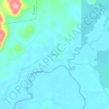
Name: Manat topographic map, elevation, terrain.

Location: Manat, Trento, Agusan del Sur, Caraga, 8505, Philippines (8.07399 126.06547 8.11399 126.10547)

Average elevation: 45 m

Minimum elevation: 26 m

Maximum elevation: 195 m

Gear up for your next adventure:

🧣Merino Neck Gaiter - Protects against wind, sun, and cold at high altitudes
🧥Softshell Jacket - Windproof and breathable jacket for hiking
🩹Moleskin Blister Pads - Direct protection for painful foot pressure points
🦯Trekking Poles - Reduced impact on joints for steep topographic climbs
🥾Waterproof Hiking Boots - Boots keeping your feet dry in wet conditions

As an Amazon Associate, this site earns from qualifying purchases at no extra cost to you.