
Crystal Springs topographic map
Interactive map
Click on the map to display elevation.
About this map
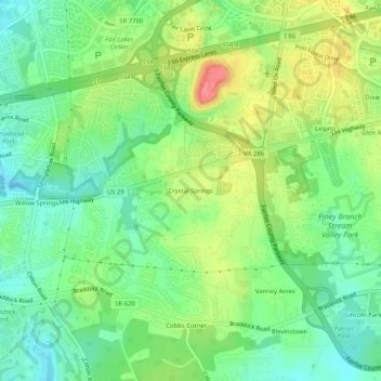
Name: Crystal Springs topographic map, elevation, terrain.
Location: Crystal Springs, Fairfax County, Virginia, 20124, USA (38.82122 -77.40388 38.86122 -77.36388)
Average elevation: 125 m
Minimum elevation: 97 m
Maximum elevation: 168 m