Geolocate

Kakru topographic map

Click on the map to display elevation.

About this map

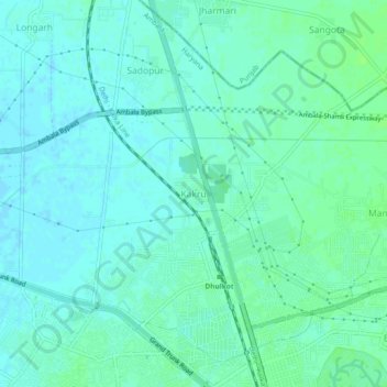
Name: Kakru topographic map, elevation, terrain.

Location: Kakru, Ambala Cantt, Ambala, Haryana, 134002, India (30.38471 76.76467 30.42471 76.80467)

Average elevation: 275 m

Minimum elevation: 271 m

Maximum elevation: 280 m

Gear up for your next adventure:

🥾Light Trekking Boots - Supportive boots for multi-day treks
Camping Groundsheet - Protect your tent from moisture and dirt
🥾Mountaineering Boots - Supportive boots for climbing and high-altitude hiking
🛌Down Sleeping Bag - Superior warmth-to-weight ratio for cold nights
🥾Trekking Boots - Durable boots for long-distance trekking

As an Amazon Associate, this site earns from qualifying purchases at no extra cost to you.