Geolocate

Winong topographic map

Click on the map to display elevation.

About this map

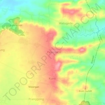
Name: Winong topographic map, elevation, terrain.

Location: Winong, Pelemrejo, Boyolali, Central Java, Java, Indonesia (-7.35157 110.76489 -7.31157 110.80489)

Average elevation: 145 m

Minimum elevation: 87 m

Maximum elevation: 195 m

Gear up for your next adventure:

🥾Waterproof Hiking Boots - Essential footwear for rugged terrain and wet Canadian trails
🧭GPS Handheld Device - Reliable GPS navigation for outdoor adventures
🥾Trekking Poles - Adjustable trekking poles to reduce knee stress and improve stability
👟Trail Running Shoes - Agile footwear for fast-paced topographic exploration
🧥Waterproof Pants - Keep dry during rainy hiking conditions

As an Amazon Associate, this site earns from qualifying purchases at no extra cost to you.