Geolocate

Juai topographic map

Click on the map to display elevation.

About this map

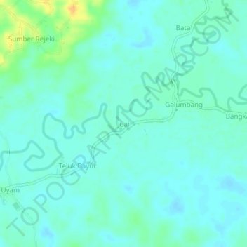
Name: Juai topographic map, elevation, terrain.

Location: Juai, Balangan, South Kalimantan, Kalimantan, Indonesia (-2.27683 115.57718 -2.23683 115.61718)

Average elevation: 32 m

Minimum elevation: 25 m

Maximum elevation: 53 m

Gear up for your next adventure:

🥾Hiking Shorts - Breathable shorts suitable for summer hikes
🏕️Camping Hammock - Integrated protection for sleeping between trees
🧼Travel Hand Sanitizer - Keep hands clean when water is scarce
🎒Fully Waterproof Backpack - Total protection for photography gear and electronics
🔦LED Headtorch - Bright and durable light for night activities

As an Amazon Associate, this site earns from qualifying purchases at no extra cost to you.