Geolocate

Detroit Lakes topographic map

Click on the map to display elevation.

About this map
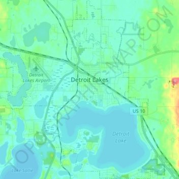
Name: Detroit Lakes topographic map, elevation, terrain.

Location: Detroit Lakes, Becker County, Minnesota, United States (46.76742 -95.91271 46.85568 -95.79041)

Average elevation: 416 m

Minimum elevation: 403 m

Maximum elevation: 490 m

Other topographic maps

Click on a map to view its topography, its elevation and its terrain.

Osage

United States > Minnesota > Becker County

Average elevation: 453 m

Gear up for your next adventure:

⛺Family Camping Tent - Spacious tent suitable for family camping trips
🧭GPS Tracker - Track your location in remote areas safely
🧦Crew Hiking Socks - Comfortable socks for long-distance hikes
🧴Outdoor Sunscreen - High SPF protection for high-altitude UV exposure
🧭GPS Outdoor Watch - Smart watch for navigation and fitness tracking in nature

As an Amazon Associate, this site earns from qualifying purchases at no extra cost to you.