Geolocate

Kalikotes topographic map

Click on the map to display elevation.

About this map

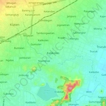
Name: Kalikotes topographic map, elevation, terrain.

Location: Kalikotes, Klaten, Central Java, Java, 57451, Indonesia (-7.76640 110.59113 -7.68640 110.67113)

Average elevation: 137 m

Minimum elevation: 101 m

Maximum elevation: 232 m

Other topographic maps

Click on a map to view its topography, its elevation and its terrain.

Sanggrahan

Indonesia > Central Java > Klaten

Average elevation: 150 m

Sungai

Indonesia > Central Java > Klaten > Nanggulan

Average elevation: 113 m

Gear up for your next adventure:

🧥Thermal Layer - Insulating layer for cold outdoor conditions
🥾Lightweight Hiking Shoes - Comfortable shoes for day hikes
🥾Trail Hiking Shoes - Durable shoes designed for rugged trails
🥾Lightweight Hiking Boots - Boots for comfort and mobility on long hikes
👟Sport Hiking Sandals - Breathable footwear for water crossings and camp rest

As an Amazon Associate, this site earns from qualifying purchases at no extra cost to you.