
Mumbanner topographic map
Interactive map
Click on the map to display elevation.
About this map
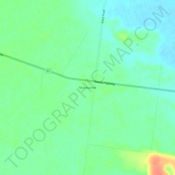
Name: Mumbanner topographic map, elevation, terrain.
Location: Mumbanner, Shire of Glenelg, Victoria, Austrália (-37.94764 141.16470 -37.90764 141.20470)
Average elevation: 50 m
Minimum elevation: 36 m
Maximum elevation: 80 m