Geolocate

Srinivasapuram topographic map

Click on the map to display elevation.

About this map

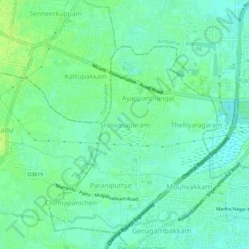
Name: Srinivasapuram topographic map, elevation, terrain.

Location: Srinivasapuram, Alandur, Chennai, Tamil Nadu, 602101, India (13.01224 80.11074 13.05224 80.15074)

Average elevation: 18 m

Minimum elevation: 12 m

Maximum elevation: 24 m

Other topographic maps

Click on a map to view its topography, its elevation and its terrain.

Velachery Lake

India > Tamil Nadu > Alandur

Average elevation: 10 m

Adambakkam Lake

India > Tamil Nadu > Alandur > Chennai

Average elevation: 12 m

Ward 167

India > Tamil Nadu > Alandur

Average elevation: 16 m

Gear up for your next adventure:

🥾Waterproof Hiking Shoes - Durable shoes for wet and rugged trails
🎒Hiking Daypack - Lightweight and durable backpacks for day trips and excursions
🥾Mountaineering Boots - Supportive boots for climbing and high-altitude hiking
🥾Hiking Leggings - Comfortable leggings for outdoor activities
🧦Hiking Socks - Moisture-wicking and comfortable socks for long hikes

As an Amazon Associate, this site earns from qualifying purchases at no extra cost to you.