Geolocate

Chiles topographic map

Click on the map to display elevation.

About this map

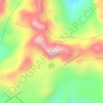
Name: Chiles topographic map, elevation, terrain.

Location: Chiles, La Libertad, Espejo, Carchi, Ecuador (0.75289 -77.97441 0.75299 -77.97431)

Average elevation: 4,014 m

Minimum elevation: 3,787 m

Maximum elevation: 4,211 m

Gear up for your next adventure:

🔦LED Headtorch - Bright and durable light for night activities
🚲Heavy Duty Bike Lock - Secure your bike at the trailhead or during stops
🩹Compact First Aid Kit - Pre-packed essentials for common trail injuries
🧴Sunscreen SPF - Broad-spectrum sunscreen for outdoor activities
🧭GPS Outdoor Watch - Smart watch for navigation and fitness tracking in nature

As an Amazon Associate, this site earns from qualifying purchases at no extra cost to you.