Geolocate

Daheli topographic map

Click on the map to display elevation.

About this map

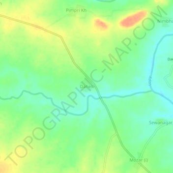
Name: Daheli topographic map, elevation, terrain.

Location: Daheli, Darwha, Yavatmal District, Maharashtra, India (20.24449 77.83530 20.28449 77.87530)

Average elevation: 313 m

Minimum elevation: 296 m

Maximum elevation: 334 m

Gear up for your next adventure:

🛶Kayak Accessories - Essential gear for safe and fun kayaking adventures
🧣Evaporative Cooling Towel - Beat the heat during intense summer climbs
🔥Emergency Fire Starter - Reliable ignition source for all weather conditions
Camping Essentials - All-in-one gear for a comfortable camping trip
🚲MTB Frame Bag - Carry tools and maps directly on your bicycle frame

As an Amazon Associate, this site earns from qualifying purchases at no extra cost to you.