
Pakatoa Island topographic map
Click on the map to display elevation.
About this map
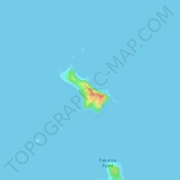
Name: Pakatoa Island topographic map, elevation, terrain.
Location: Pakatoa Island, Waiheke, Auckland, New Zealand (-36.80018 175.18896 -36.79196 175.20018)
Average elevation: 1 m
Minimum elevation: 0 m
Maximum elevation: 46 m