
Pitrufquén topographic map
Interactive map
Click on the map to display elevation.
About this map
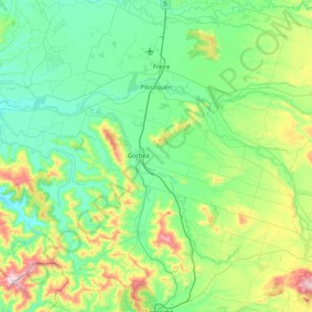
Name: Pitrufquén topographic map, elevation, terrain.
Location: Pitrufquén, Provincia de Cautín, Araucanie, Chili (-39.23815 -72.99692 -38.97198 -72.31047)
Average elevation: 177 m
Minimum elevation: 13 m
Maximum elevation: 797 m