Geolocate

Alchi topographic map

Click on the map to display elevation.

About this map

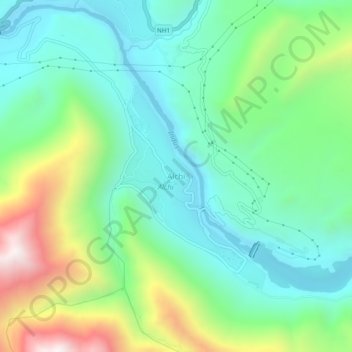
Name: Alchi topographic map, elevation, terrain.

Location: Alchi, Khaltsi, Leh district, Ladakh, India (34.20363 77.15406 34.24363 77.19406)

Average elevation: 3,332 m

Minimum elevation: 3,044 m

Maximum elevation: 4,019 m

Gear up for your next adventure:

🛏️Camping Sleeping Mat - Comfortable mats for sleeping outdoors
🔋Solar Power Bank - Keep your GPS and devices charged during long outdoor trips
🥾Mountain Hiking Boots - High-traction boots for rocky terrain
💡LED Camping Lantern - Illuminate your campsite with long-lasting lanterns
🧼Travel Hand Sanitizer - Keep hands clean when water is scarce

As an Amazon Associate, this site earns from qualifying purchases at no extra cost to you.