Geolocate

Deorankar Nagar topographic map

Click on the map to display elevation.

About this map

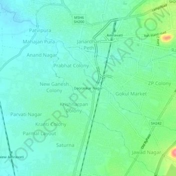
Name: Deorankar Nagar topographic map, elevation, terrain.

Location: Deorankar Nagar, Amravati, Maharashtra, 444600, India (20.89769 77.73165 20.93769 77.77165)

Average elevation: 346 m

Minimum elevation: 324 m

Maximum elevation: 415 m

Gear up for your next adventure:

🧢Outdoor Cap - Protective cap for sun and rain during hikes
🪜Heavy Duty Carabiners - Multi-use clips for securing gear to your backpack
🥾Trail Running Shoes - Lightweight and durable shoes for trail running
🔥Camping Stove - Portable stoves to cook outdoors with ease
🔦UV Flashlight - Detect minerals or specific insects in the dark

As an Amazon Associate, this site earns from qualifying purchases at no extra cost to you.