Geolocate

Catulun topographic map

Click on the map to display elevation.

About this map

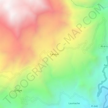
Name: Catulun topographic map, elevation, terrain.

Location: Catulun, Huancabamba, Provincia de Huancabamba, Piura, Perú (-5.19069 -79.49083 -5.15069 -79.45083)

Average elevation: 2,744 m

Minimum elevation: 2,050 m

Maximum elevation: 3,509 m

Gear up for your next adventure:

🧢Hiking Hat - Sun-protective and breathable hats for long treks
🛶Canoe Life Vest - Safety vest for water sports
🚲MTB Frame Bag - Carry tools and maps directly on your bicycle frame
🥾Mountaineering Boots - Supportive boots for climbing and high-altitude hiking
🕶️Polarized Sunglasses - Protect your eyes with durable polarized lenses

As an Amazon Associate, this site earns from qualifying purchases at no extra cost to you.