Geolocate

Tilottama topographic map

Click on the map to display elevation.

About this map

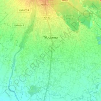
Name: Tilottama topographic map, elevation, terrain.

Location: Tilottama, Rupandehi, Lumbini Province, Nepal (27.55004 83.41429 27.67292 83.55174)

Average elevation: 125 m

Minimum elevation: 106 m

Maximum elevation: 174 m

Gear up for your next adventure:

🥾Light Trekking Boots - Supportive boots for multi-day treks
🚑Survival Whistle - Signal for help across long distances in mountains
🛌Insulated Sleeping Pad - Critical thermal barrier between you and the cold ground
🥾Waterproof Hiking Boots - Boots keeping your feet dry in wet conditions
🍽️Titanium Camping Spork - Ultralight and indestructible eating utensil

As an Amazon Associate, this site earns from qualifying purchases at no extra cost to you.