Geolocate

El Conde topographic map

Click on the map to display elevation.

About this map

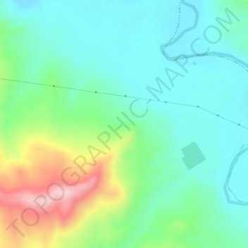
Name: El Conde topographic map, elevation, terrain.

Location: El Conde, Úbeda, Jaén, Andalusia, Spain (37.90098 -3.24995 37.92098 -3.22995)

Average elevation: 420 m

Minimum elevation: 345 m

Maximum elevation: 614 m

Other topographic maps

Click on a map to view its topography, its elevation and its terrain.

Úbeda

Spain > Andalusia > Úbeda

Average elevation: 497 m

Gear up for your next adventure:

💧Filtered Water Bottle - Safe drinking water on the go
🥾Hiking Shorts - Breathable shorts suitable for summer hikes
🧥Thermal Layer - Insulating layer for cold outdoor conditions
🧊Insulated Water Bottle - Keeps drinks cold in summer and prevents freezing in winter
📷Outdoor Action Camera - Capture high-elevation views and rugged adventures

As an Amazon Associate, this site earns from qualifying purchases at no extra cost to you.