Geolocate

Zhuzuo topographic map

Click on the map to display elevation.

About this map

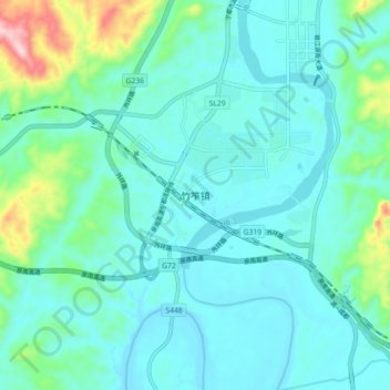
Name: Zhuzuo topographic map, elevation, terrain.

Location: Zhuzuo, Ningdu County, Ganzhou, Jiangxi, China (26.35474 115.94370 26.43474 116.02370)

Average elevation: 222 m

Minimum elevation: 164 m

Maximum elevation: 509 m

Gear up for your next adventure:

❄️Traction Ice Cleats - Slip-on spikes for icy trails and winter hiking
🥾Trekking Boots - Durable boots for long-distance trekking
🧴First Aid Kit - Essential first aid supplies for outdoor emergencies
🧥Ultralight Puffy Jacket - Maximum warmth that packs down to the size of an orange
Camping Groundsheet - Protect your tent from moisture and dirt

As an Amazon Associate, this site earns from qualifying purchases at no extra cost to you.