Geolocate

San Giuliano topographic map

Click on the map to display elevation.

About this map

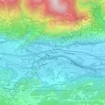
Name: San Giuliano topographic map, elevation, terrain.

Location: San Giuliano, Susa, Torino, Piemonte, 10059, Italia (45.11835 7.06389 45.15835 7.10389)

Average elevation: 718 m

Minimum elevation: 450 m

Maximum elevation: 1,542 m

Gear up for your next adventure:

🦟Insect Repellent - Keep mosquitoes and black flies away in wooded areas
🥾Approach Boots - Comfortable boots for hiking and climbing approaches
🧴Bear Spray Holster - Quick-access carry for essential Canadian wilderness safety
❄️Traction Ice Cleats - Slip-on spikes for icy trails and winter hiking
🧭GPS Outdoor Watch - Smart watch for navigation and fitness tracking in nature

As an Amazon Associate, this site earns from qualifying purchases at no extra cost to you.