Geolocate

Elamsville topographic map

Click on the map to display elevation.

About this map

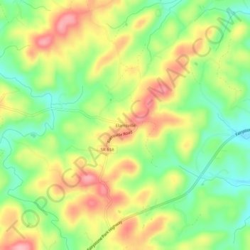
Name: Elamsville topographic map, elevation, terrain.

Location: Elamsville, Patrick County, Virginia, United States (36.74764 -80.21394 36.78764 -80.17394)

Average elevation: 422 m

Minimum elevation: 359 m

Maximum elevation: 491 m

Gear up for your next adventure:

🧥Ultralight Puffy Jacket - Maximum warmth that packs down to the size of an orange
🧤Rechargeable Heated Gloves - Extreme warmth for Canadian winter expeditions
🧥Waterproof Pants - Keep dry during rainy hiking conditions
🔋Emergency Crank Radio - Weather alerts and power without needing batteries
🛌Down Sleeping Bag - Superior warmth-to-weight ratio for cold nights

As an Amazon Associate, this site earns from qualifying purchases at no extra cost to you.