
Melrose topographic map
Interactive map
Click on the map to display elevation.
About this map
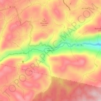
Name: Melrose topographic map, elevation, terrain.
Location: Melrose, Polk County, North Carolina, 28773, United States (35.19956 -82.34262 35.23956 -82.30262)
Average elevation: 610 m
Minimum elevation: 356 m
Maximum elevation: 742 m