
La Mancha topographic map
Interactive map
Click on the map to display elevation.
About this map
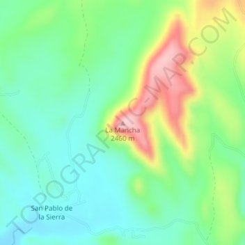
Name: La Mancha topographic map, elevation, terrain.
Location: La Mancha, Guerrero, Chihuahua, México (28.10297 -107.75784 28.10307 -107.75774)
Average elevation: 2,317 m
Minimum elevation: 2,249 m
Maximum elevation: 2,456 m
Other topographic maps
Click on a map to view its topography, its elevation and its terrain.