Geolocate

Thada topographic map

Click on the map to display elevation.

About this map

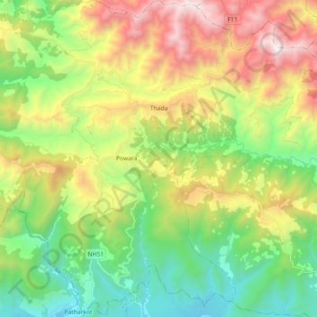
Name: Thada topographic map, elevation, terrain.

Location: Thada, Sitganga, Arghakhanchi, Lumbini Province, Nepal (27.75681 83.01658 27.91513 83.13940)

Average elevation: 953 m

Minimum elevation: 159 m

Maximum elevation: 2,258 m

Gear up for your next adventure:

🔋Emergency Crank Radio - Weather alerts and power without needing batteries
🚲Handlebar Phone Mount - View topographic-map.com live while cycling
🧣Evaporative Cooling Towel - Beat the heat during intense summer climbs
🧤Rechargeable Heated Gloves - Extreme warmth for Canadian winter expeditions
🧥Ultralight Puffy Jacket - Maximum warmth that packs down to the size of an orange

As an Amazon Associate, this site earns from qualifying purchases at no extra cost to you.