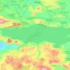
Ajijic topographic map
Click on the map to display elevation.
Ajijic
The Chapala Lake basin has a year-round average temperature of about 19 °C (66 °F). Due to Ajijic's tropical latitude and relatively high elevation, it is seldom unpleasantly hot or humid. The rainy season begins in June and lasts until October. The average rainfall is 793 millimetres (31.2 in). Even during the rainy season, precipitation generally occurs during the evening or at night.
About this map
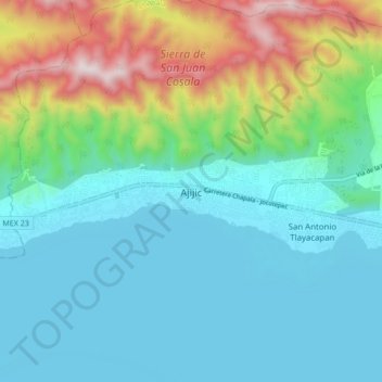
Name: Ajijic topographic map, elevation, terrain.
Location: Ajijic, Chapala, Región Ciénega, Jalisco, 45920, Mexico (20.26020 -103.30193 20.34020 -103.22193)
Average elevation: 1,738 m
Minimum elevation: 1,515 m
Maximum elevation: 2,450 m
Other topographic maps
Click on a map to view its topography, its elevation and its terrain.