
Thank you for supporting this site ❤️
Make a donation
Make a donation
Gear up for your next adventure:
As an Amazon Associate, this site earns from qualifying purchases at no extra cost to you.
Kazimiye topographic map
Click on the map to display elevation.
Thank you for supporting this site ❤️
Make a donation
Make a donation
Gear up for your next adventure:
As an Amazon Associate, this site earns from qualifying purchases at no extra cost to you.
About this map
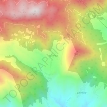
Name: Kazimiye topographic map, elevation, terrain.
Location: Kazimiye, Pamukova, Sakarya, Marmara Region, Turkey (40.53899 30.16427 40.57899 30.20427)
Average elevation: 765 m
Minimum elevation: 299 m
Maximum elevation: 1,260 m
Thank you for supporting this site ❤️
Make a donation
Make a donation
Gear up for your next adventure:
As an Amazon Associate, this site earns from qualifying purchases at no extra cost to you.