
Weil topographic map
Interactive map
Click on the map to display elevation.
About this map
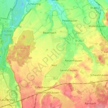
Name: Weil topographic map, elevation, terrain.
Location: Weil, Landkreis Landsberg am Lech, Bavière, 86947, Allemagne (48.08496 10.88172 48.16820 11.02211)
Average elevation: 582 m
Minimum elevation: 541 m
Maximum elevation: 626 m