
Thank you for supporting this site ❤️
Make a donation
Make a donation
Gear up for your next adventure:
As an Amazon Associate, this site earns from qualifying purchases at no extra cost to you.
Saliha B topographic map
Click on the map to display elevation.
Thank you for supporting this site ❤️
Make a donation
Make a donation
Gear up for your next adventure:
As an Amazon Associate, this site earns from qualifying purchases at no extra cost to you.
About this map
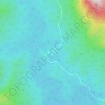
Name: Saliha B topographic map, elevation, terrain.
Location: Saliha B, Nabawan, Interior Division, Sabah, Malaysia (4.40367 116.84088 4.44367 116.88088)
Average elevation: 461 m
Minimum elevation: 364 m
Maximum elevation: 991 m
Thank you for supporting this site ❤️
Make a donation
Make a donation
Gear up for your next adventure:
As an Amazon Associate, this site earns from qualifying purchases at no extra cost to you.