
Russell Town topographic map
Interactive map
Click on the map to display elevation.
About this map
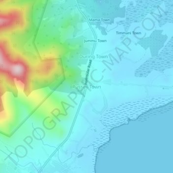
Name: Russell Town topographic map, elevation, terrain.
Location: Russell Town, Western Area Rural, Western Area, Sierra Leone (8.22061 -13.10505 8.26061 -13.06505)
Average elevation: 79 m
Minimum elevation: -1 m
Maximum elevation: 475 m