Geolocate

Aannaya topographic map

Click on the map to display elevation.

About this map

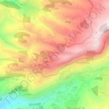
Name: Aannaya topographic map, elevation, terrain.

Location: Aannaya, Jbeil District, Keserwan-Jbeil Governorate, Lebanon (34.09714 35.73468 34.13714 35.77468)

Average elevation: 998 m

Minimum elevation: 527 m

Maximum elevation: 1,363 m

Gear up for your next adventure:

🧥Ultralight Puffy Jacket - Maximum warmth that packs down to the size of an orange
🍽️Titanium Camping Spork - Ultralight and indestructible eating utensil
🛁Quick-Dry Microfiber Towel - Space-saving towel that dries rapidly on the move
🔦LED Headtorch - Bright and durable light for night activities
🛌Insulated Sleeping Pad - Critical thermal barrier between you and the cold ground

As an Amazon Associate, this site earns from qualifying purchases at no extra cost to you.