Geolocate

Riocaliente topographic map

Click on the map to display elevation.

About this map

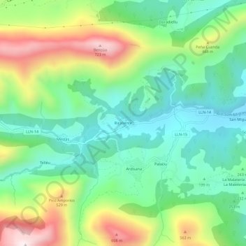
Name: Riocaliente topographic map, elevation, terrain.

Location: Riocaliente, Llanes, Asturias, España (43.37376 -4.96537 43.41376 -4.92537)

Average elevation: 289 m

Minimum elevation: 53 m

Maximum elevation: 744 m

Gear up for your next adventure:

🥾Waterproof Hiking Shoes - Durable shoes for wet and rugged trails
🥾Trekking Boots - Durable boots for long-distance trekking
🦶Anti-Blister Balm - Prevents friction and hotspots during long ascents
💧Hydration Pack - Hands-free hydration system for long hikes
🥾Trail Hiking Boots - Supportive boots for rough trails

As an Amazon Associate, this site earns from qualifying purchases at no extra cost to you.